Your Essential Guide to Getting Around Perth Like a Local
From Transperth buses to hidden cycling routes, here's how to navigate the city and unlock everything it has to offer.
2 min read
From Transperth buses to hidden cycling routes, here's how to navigate the city and unlock everything it has to offer.
2 min read
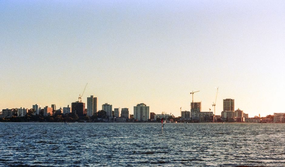
Perth's sprawling geography—stretching from the Swan River to suburban reaches—can intimidate newcomers, but the city's transport network is far more accessible than many realise. Whether you're heading to a weeknight dinner in Northbridge or weekend brunch in Fremantle, mastering Perth's commuting options transforms how you experience the city.
Start with Transperth, the backbone of local mobility. The integrated bus, train, and ferry system covers most of the metropolitan area, with day passes at around $6.50 and weekly caps at roughly $32. The Perth Train Station, located beneath the Hay Street Mall, connects the city to Fremantle in 45 minutes—ideal for exploring the port precinct's markets, galleries, and waterfront restaurants. The Armadale and Midland lines branch inland, serving growing cultural hubs like Belmont and Guildford.
For those willing to cycle, Perth's expanding network of protected bikeways rewards exploration. The Swan River path from Tannin Park to Applecross offers stunning river views and connects to neighbourhood gems like Mount Lawley's cafés and West Perth's emerging wine bars. Bike rentals through services like Nextbike stations (scattered across the CBD and inner suburbs) cost around $3 for a single journey.
Ride-sharing apps provide flexibility for evening outings, particularly when heading to entertainment precincts around Murray Street or the emerging nightlife scene in Subiaco and Leederville. Expect $8–15 for inner-city journeys. Driving remains viable but parking can be challenging; the standard rate in central Perth hovers around $4–6 per hour, though many restaurants and venues offer validation.
Perth's neighbourhoods each reward exploration. Cottesloe Beach is a 40-minute combined train-and-walk journey; Scarborough offers alternative coastal charm via bus. The City's cultural corridor—spanning from the Art Gallery of WA on Northbridge to the Perth Cultural Centre—is entirely walkable and car-free.
Plan ahead using the Transperth Journey Planner app, which integrates all transport modes and provides real-time updates. Download offline maps too; Perth's grid layout is logical, but getting genuinely lost is harder than you'd think.
The key to enjoying Perth isn't choosing one transport method—it's combining them strategically. A train to Fremantle, a cycle loop along the river, and a ride-share home transforms a day into genuine discovery. The city rewards residents who move beyond their immediate neighbourhood.
This article was compiled by AI from the sources linked above and screened before publishing. See our editorial standards.
Spread the word
About this article
Published by The Daily Perth
Stay in the loop
Daily brief
Free, in your inbox before 7am. Weekdays.
The Daily Network — local news across Australia
More local news across Australia